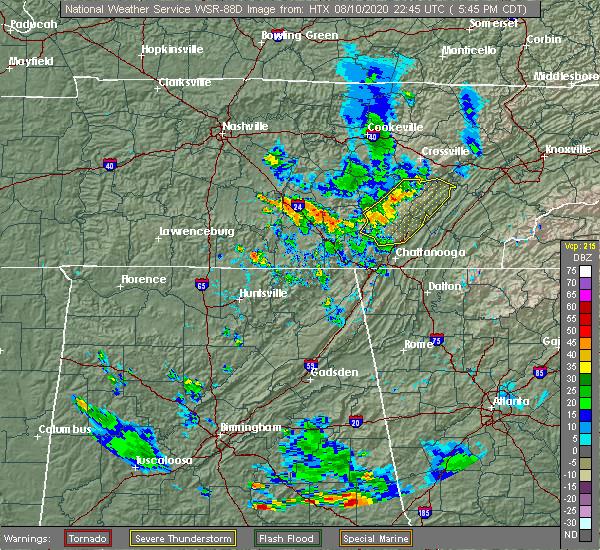
Residents across Johnson City and Washington County, Tennessee, are being urged to closely monitor changing weather conditions after the National Weather Service (NWS) warned that a powerful line of severe thunderstorms is moving across the region. Forecasters say the storms are capable of producing damaging wind gusts, torrential rainfall, frequent lightning, large hail, and the potential for isolated tornadoes as they track through Northeast Tennessee.
The latest weather alerts indicate that the strongest storms could intensify rapidly, creating dangerous conditions for motorists, outdoor activities, and residents in vulnerable areas. While the exact path and severity of individual storm cells may change, meteorologists continue to emphasize that anyone within the warning area should be prepared to act immediately if a tornado warning is issued or conditions begin to deteriorate.
Emergency management officials are encouraging residents to have multiple ways of receiving weather alerts, including NOAA Weather Radio, smartphone notifications, and trusted local media. Strong thunderstorms can develop quickly, leaving little time to seek shelter once warnings are issued.
If a tornado warning is issued for your location, safety experts recommend moving immediately to the lowest level of a sturdy building. An interior room away from windows, such as a basement or small hallway, provides the greatest protection from flying debris. Those living in mobile homes or temporary structures should relocate to a more secure shelter if it is safe to do so.
In addition to the tornado threat, heavy rainfall may create localized flooding across portions of Washington County. Low-lying roads, poor drainage areas, and small streams could become hazardous as intense downpours move through the region. Drivers are urged to avoid flooded roadways and remember that water depth can be difficult to judge during severe weather.
Strong wind gusts associated with these storms may also bring down trees, damage power lines, and cause scattered power outages. Residents are encouraged to charge electronic devices, secure loose outdoor objects, and prepare emergency supplies such as flashlights, batteries, drinking water, and essential medications in case of prolonged outages.
The severe weather threat could also affect travel and outdoor events throughout the Johnson City area. Officials recommend delaying unnecessary travel during the strongest storms and remaining indoors until dangerous weather has passed.
The National Weather Service continues to monitor the evolving weather pattern and may issue additional warnings if radar detects rotating thunderstorms or other hazardous conditions. Residents are encouraged to follow official forecasts rather than relying on rumors or unverified social media reports.
Washington County emergency officials also encourage residents to sign up for local emergency notification systems so they can receive timely alerts about severe weather and other public safety events.
As storms continue moving across Northeast Tennessee, public safety officials are reminding everyone to remain weather-aware and ready to take protective action if necessary. Staying informed and responding quickly to official warnings can make a significant difference during rapidly changing severe weather conditions.
Leave a Reply